1.7 KiB
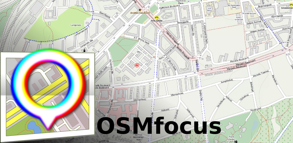
osm-focus
OSMFocus Android application - OpenStreetMap Data for Android
OSMfocus can show details of nearby objects from the OpenStreetMap database such that they can be compared with real world observations. Correcting errors or adding missing information to OpenStreetMap and thus getting it 'into focus' is the main purpose of OSMfocus. OSMfocus is not a map, navigation tool or OpenStreetMap editor.
Discrepancies between the real-world and OpenStreetMap are best observed on-site while memorizing details for later comparison with OpenStreetMap is usually difficult and with a good likelihood of missing the actual differences.
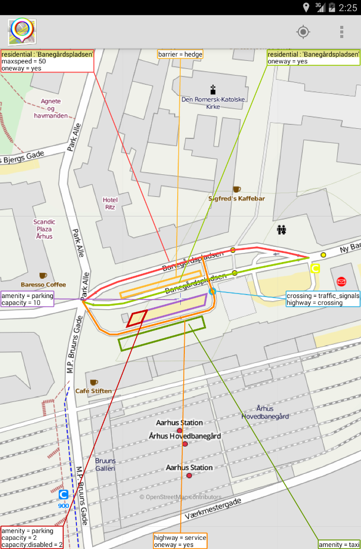
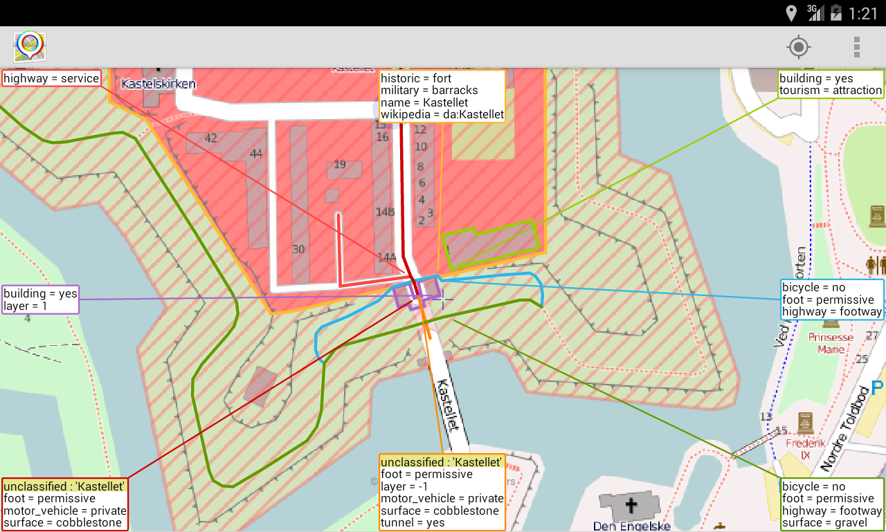

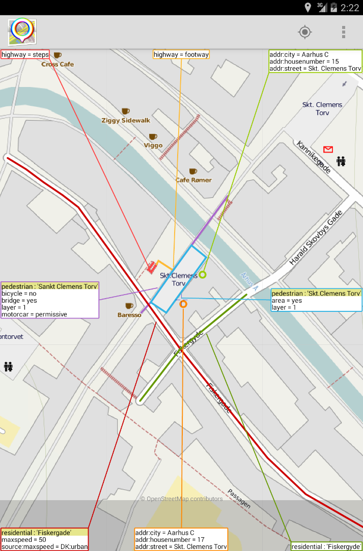
OSMfocus shows key-value pairs as = and abbreviate two pairs that occur quite often, namely highway= and name= which are shown as :. Way objects which has just a single key-value pair of type 'building=' are ignored when searching for nearby objects. To make better utilization of screen space, the following keys are not shown: 'kms:', 'osak:*', 'created_by', 'addr:country', 'addr:postcode' and 'source'.
OSMfocus use location services and network access permissions for downloading vector map data and background map tiles for your current location.
OSMfocus use data from OpenStreetMap (www.openstreetmap.org). This data and screenshots containing maps are (C) Copyright OpenSteetMap contributors.
About the Name OSMfocus
The thinking behind the application name is that the application will help "sharpening" the OpenStreetMap data such that it represents a more clear view of the observable world.